 vesseltracker.com
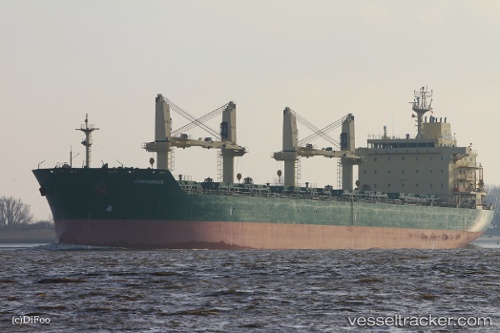
Find the position of the vessel SAFEEN AL AMAL on the map. The latter are known coordinates and path.
marine traffic ship tracker show on live map
The current position of vessel SAFEEN AL AMAL is 19.0483 lat / 60.2167 lng. Updated: 2025-08-04 12:57:53 UTCCurrently sailing under the flag of Marshall Islands
SAFEEN AL AMAL built in 2011 year
Deadweight:
34420 tDetails:
Last coordinates of the vessel:
UTC, 19.5324, 60.1829, course: 177, speed: 8.9UTC, 19.33, 60.1967, course: -1, speed: 8
UTC, 19.3189, 60.1983, course: 181, speed: 7.9
2025-08-04 12:57:53 UTC, 19.0483, 60.2167, course: -1, speed: 8